
3RY Update Part:
5
Date:
1st March ‘19
Day:
38
Title:
Erewhon?
KM Mark Start:
2314
Start Location:
Crooked Spur Hut
KM Mark Finish:
2305
Finish Location:
Potts Lodge
Actual KM today:
30
Weather:
Sunny!
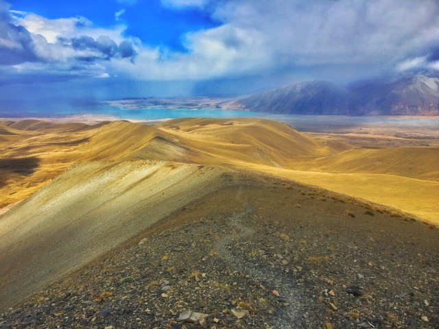
General:
Rangitata Danger Zone – check!
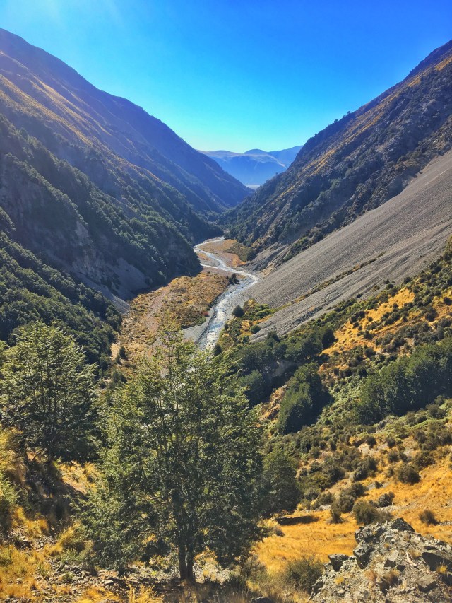
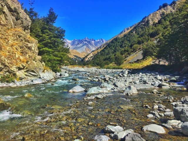
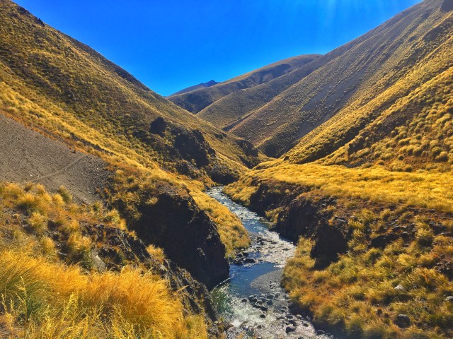
Stoked to have that box ticked and the Rangitata River section behind me.
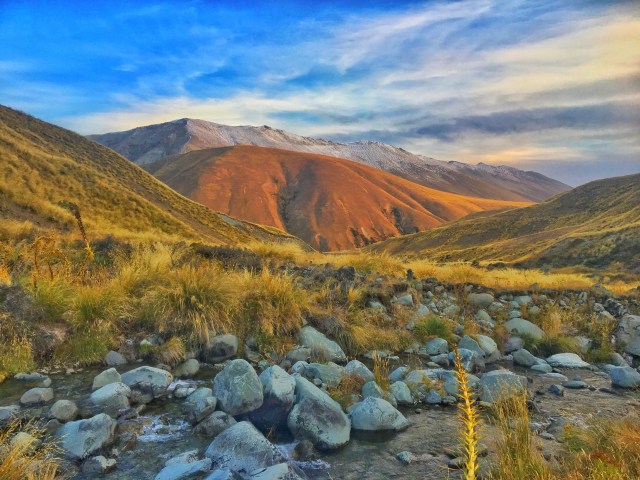
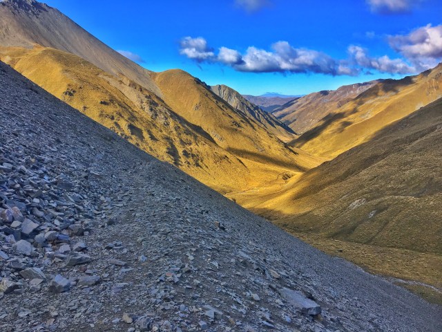
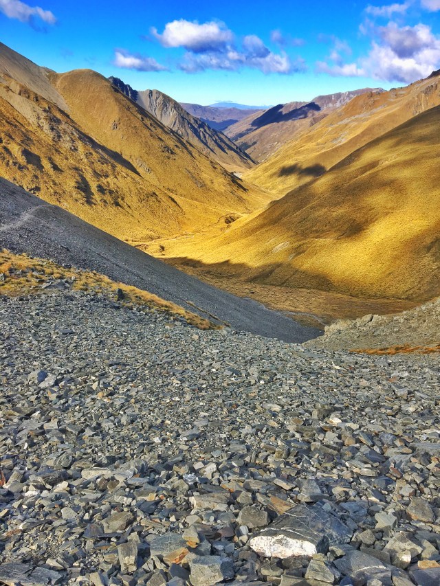
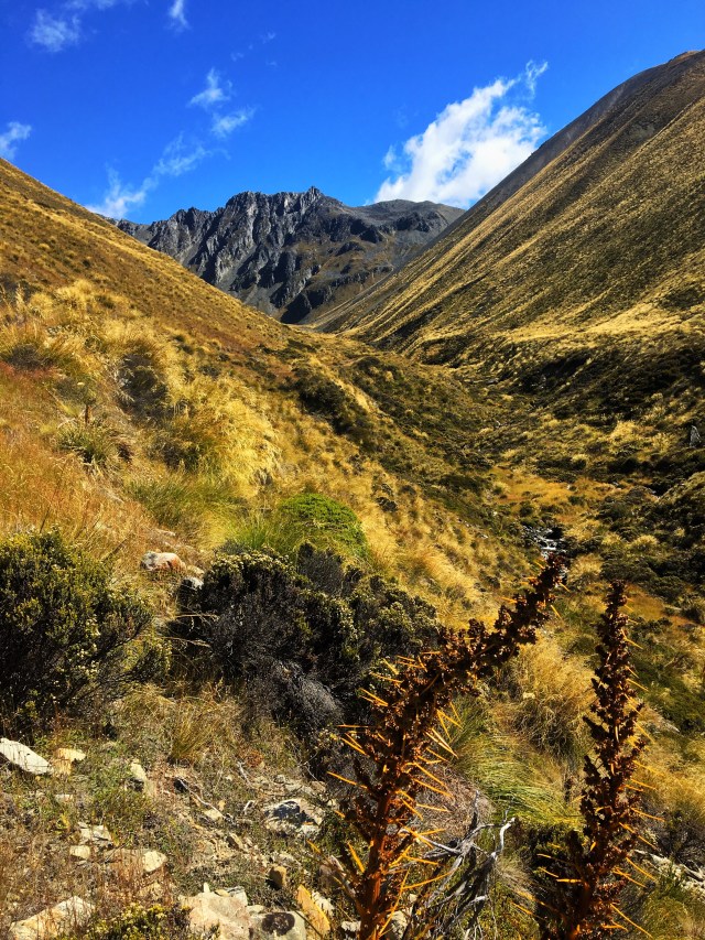
Started the morning walking down Bush Stream, in between Mount Brabazon and Mount Sinclair. When I eventually hit the Rangitata River I wanted to collect a resupply package (10 days worth of supplies) I’d previously sent through to Mesopotamia Station, around 3km south of where I exited the ranges.
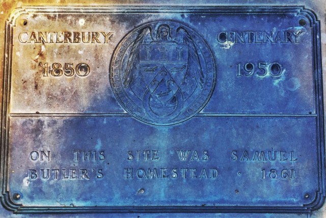
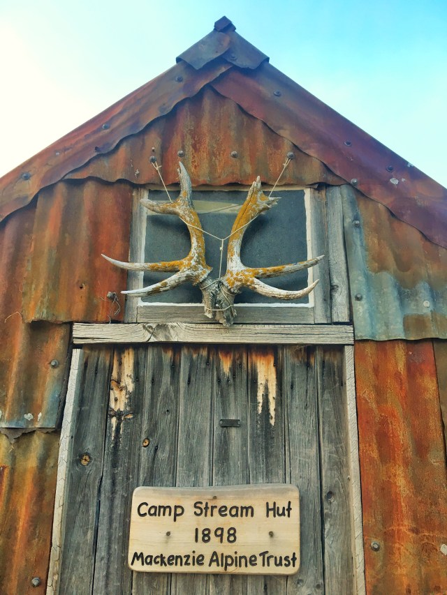
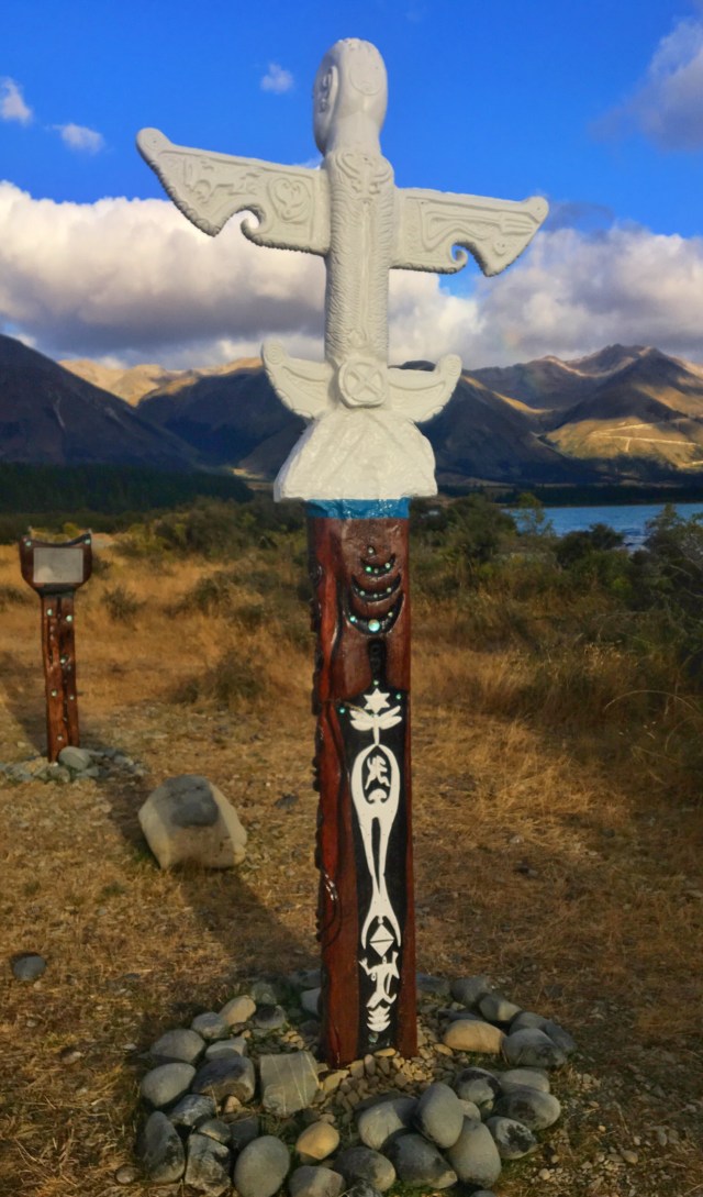
At Mesopotamia there is a plaque with names in memory of those from Mesopotamia who fell in the 1914-1918 War.
Another plaque marks the historic site of Samuel Butlers Homestead 1861…now a quaint little school. Samuel Butler originally founded Mesopotamia and wrote the famous fantastical Satire Erewhon. They say this is ‘Nowhere’ spelt backwards…buuuuut, it’s not.
A strangely eerie place but very cool to visit.
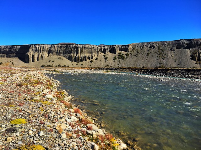
From here I left the official trail again…I needed to get across the Rangitata River. This is a section that is considered a no-go zone. (Anyone that’s doing the TA and considering this, I recommend you don’t. I had a number of safety measures in place that made it possible, including people keeping watch onshore).
I had spent some time picking a line to cross the braided river and went for it. There were a few deeper sections but the weather had been kind to me over the last few days so I managed the crossing without too much drama.
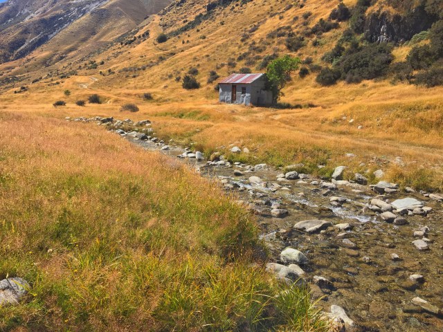
When I arrived at my final destination (Mt Potts Lodge), I was pleasantly surprised. I had imagined a farm house and a field for my tent. There was a bar, cafe and bunk rooms…”Yup, start a tab please mate”.
Body/Health:
Achilles and feet quite tender. I’m hoping they’ll loosen up.
Outlook:
Happy to get that section done. Now looking forward to the Rakaia River Crossing
Tune of the Day:
Paranoid – Black Sabbath
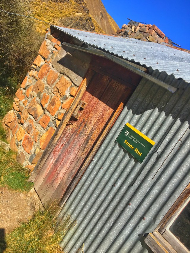
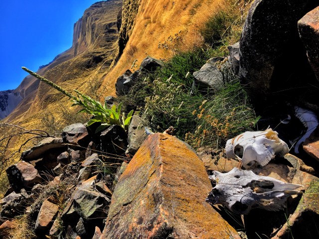
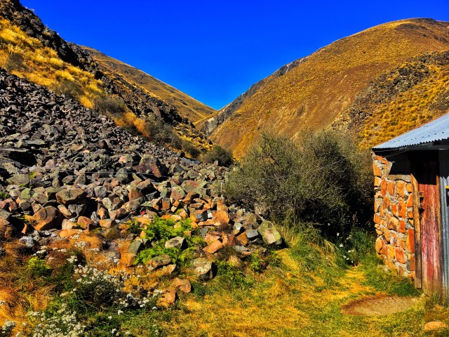
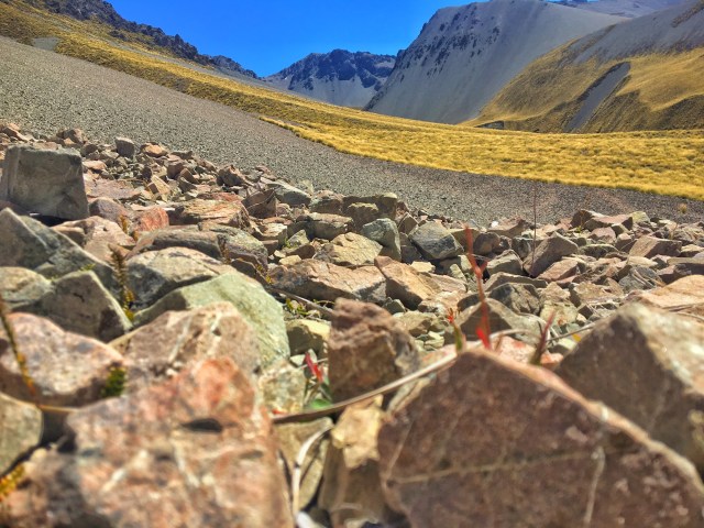
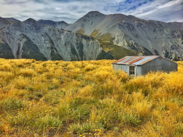
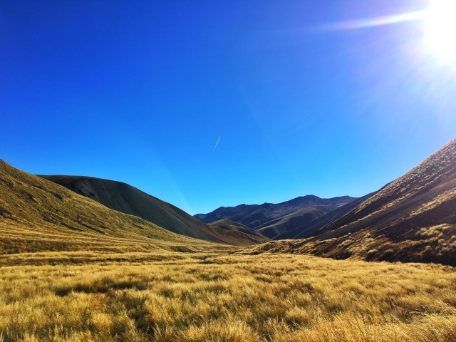
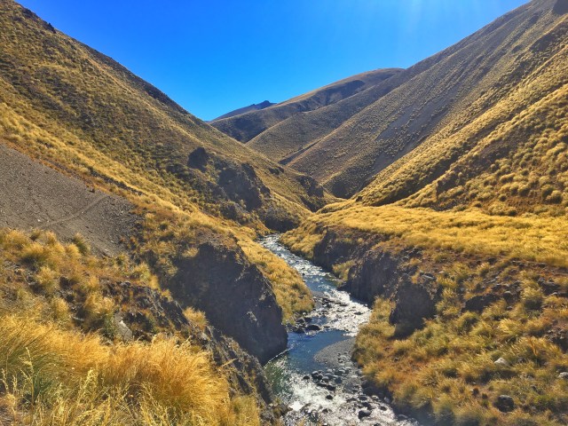
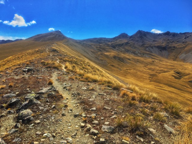
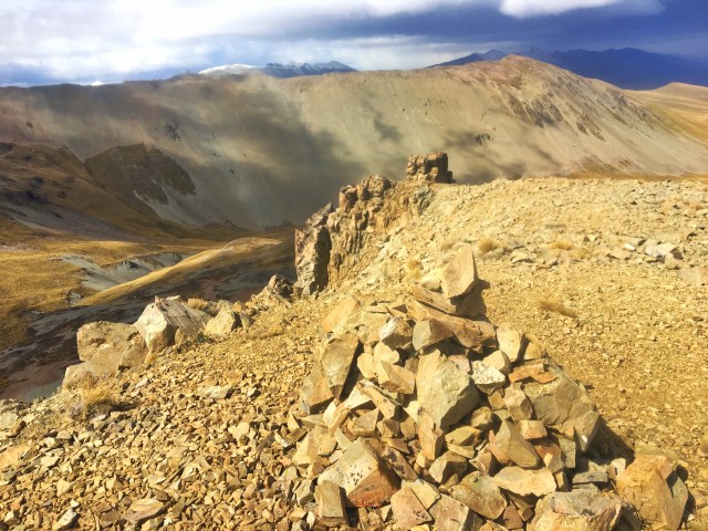
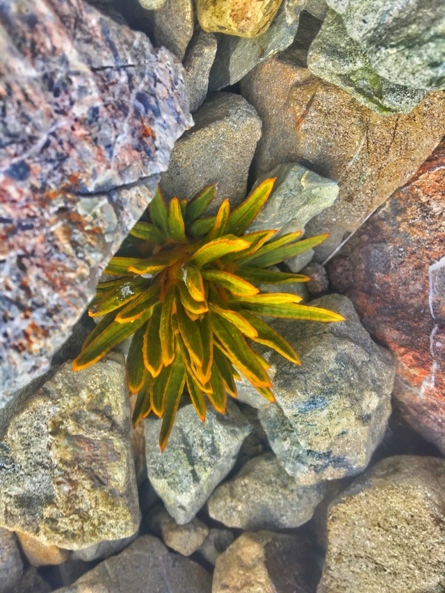
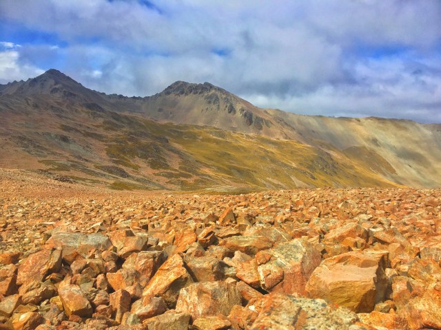
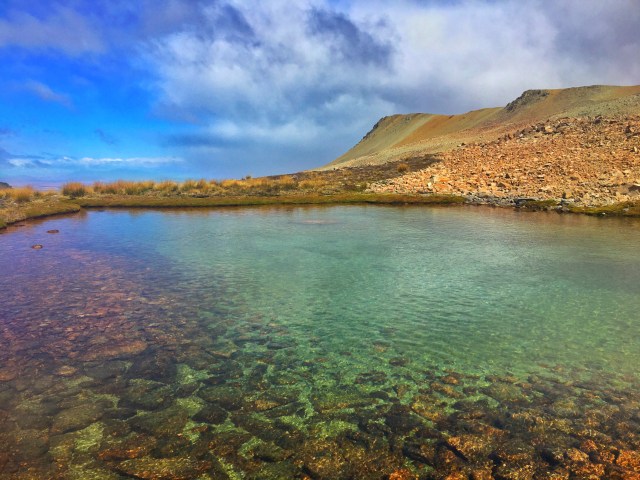
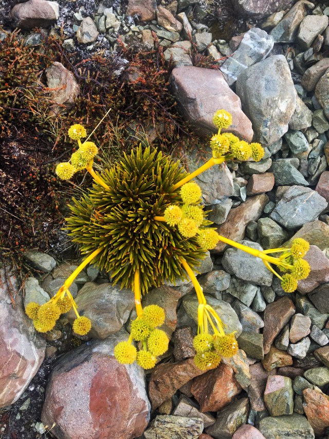
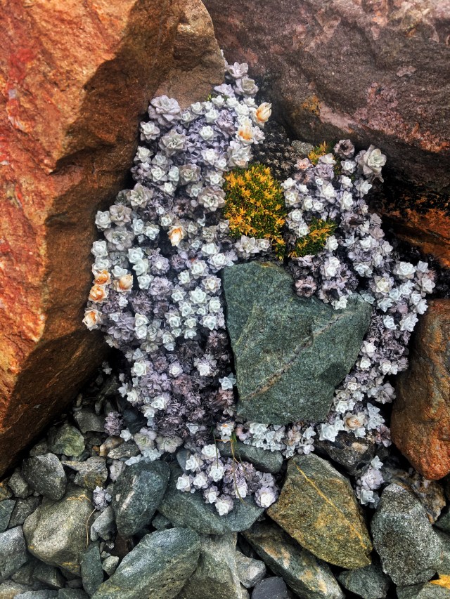
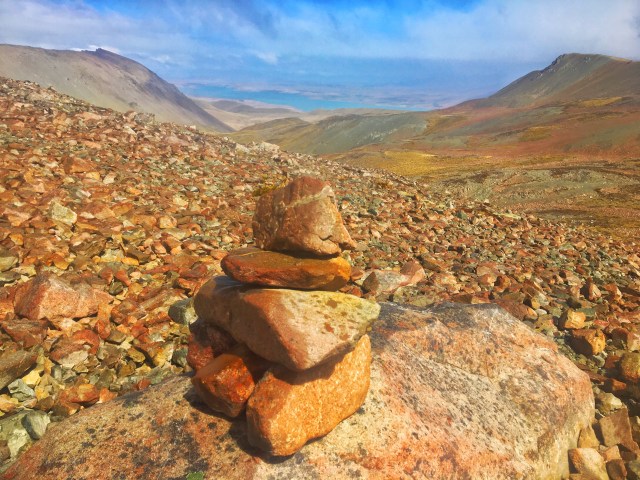
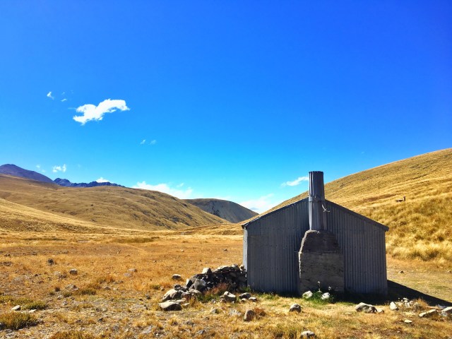
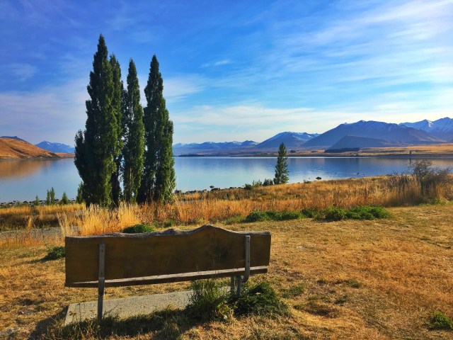
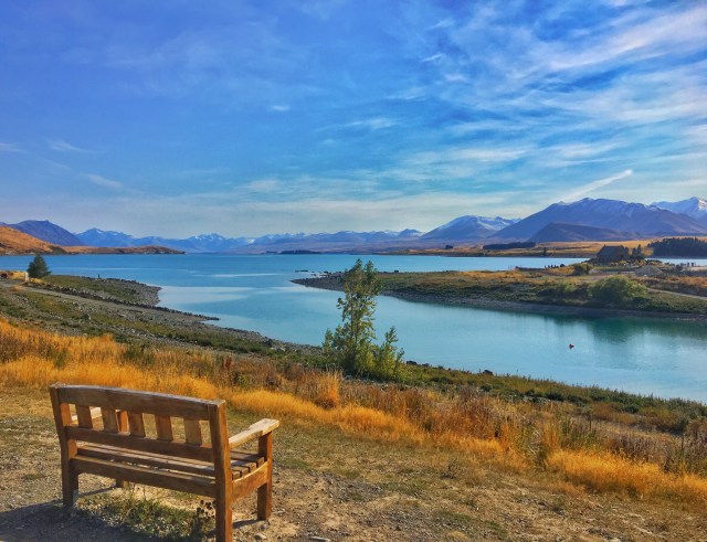
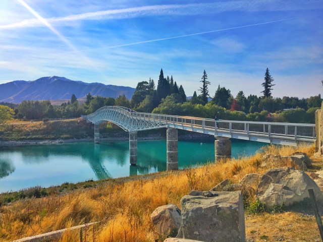
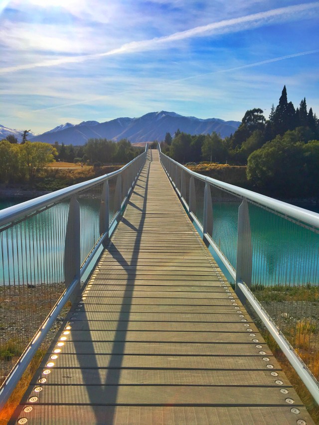
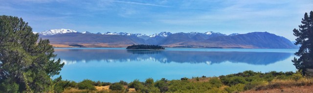
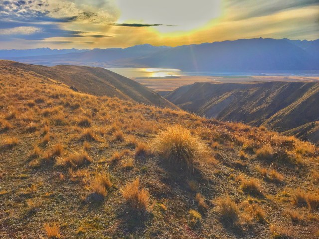
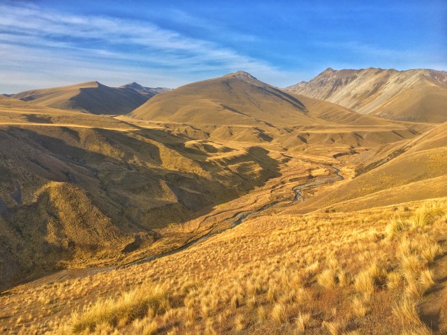
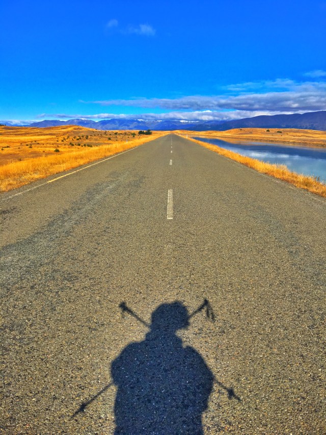
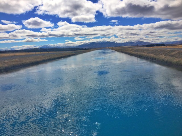
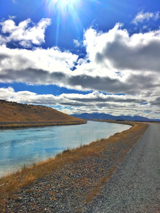
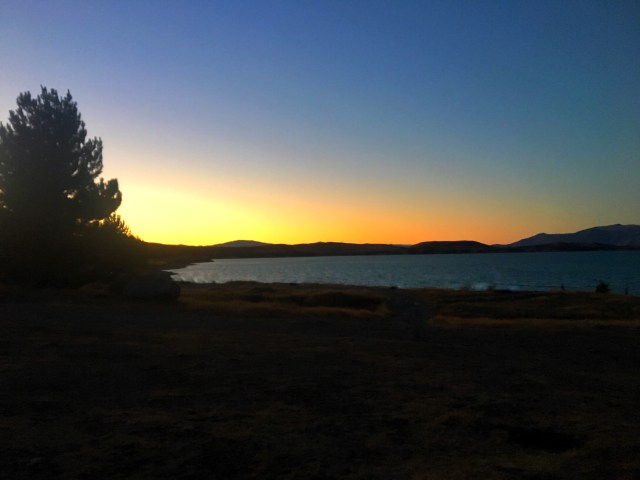
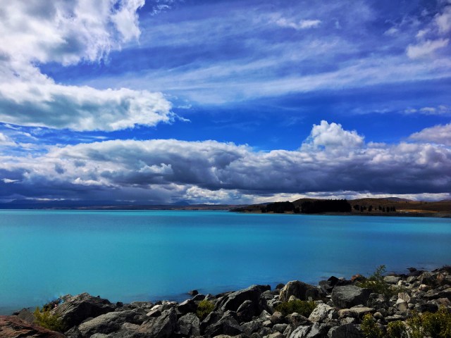
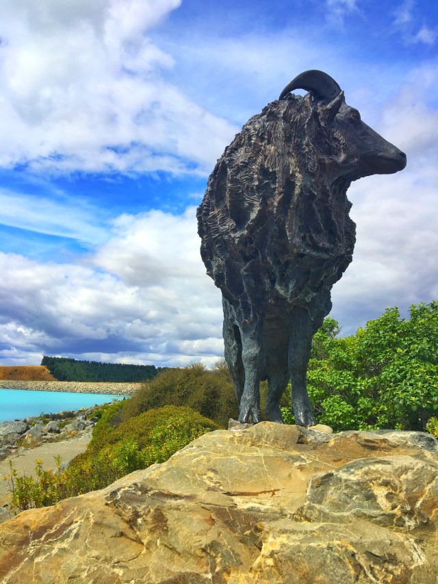
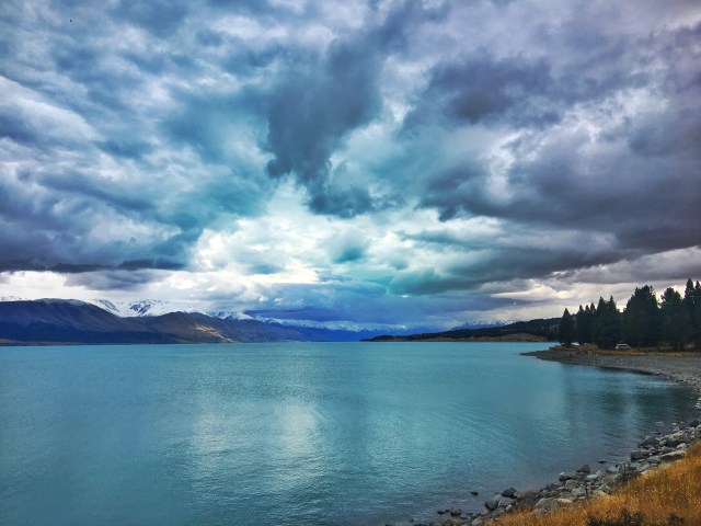
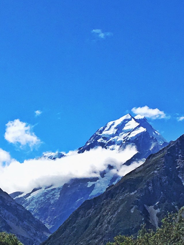
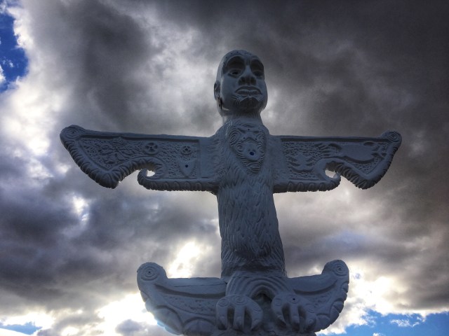
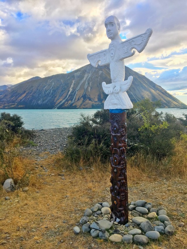
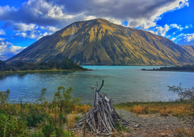
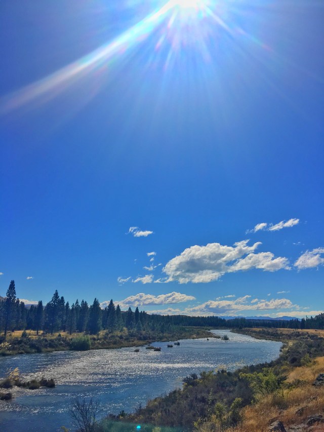
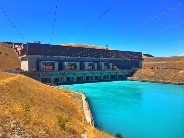
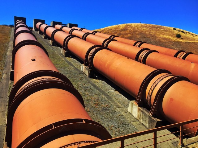
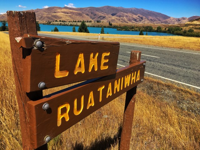
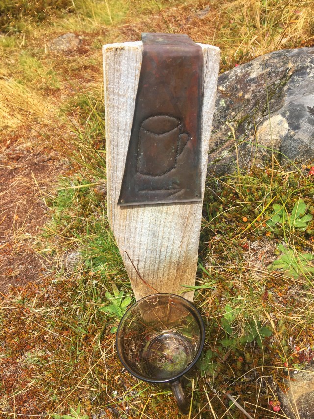
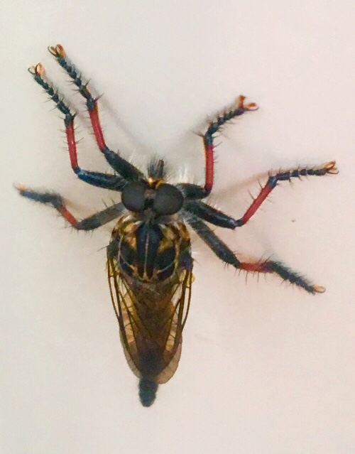
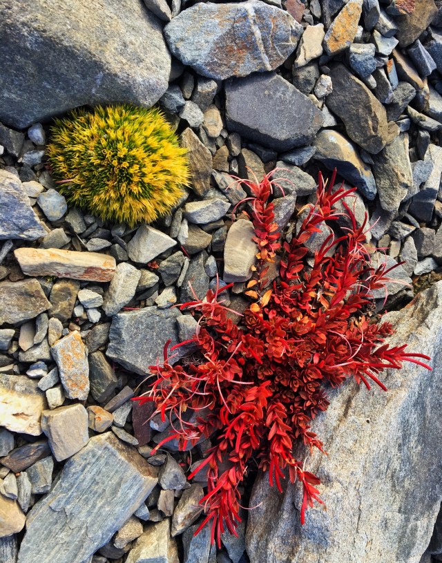
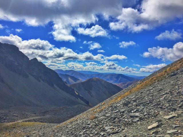
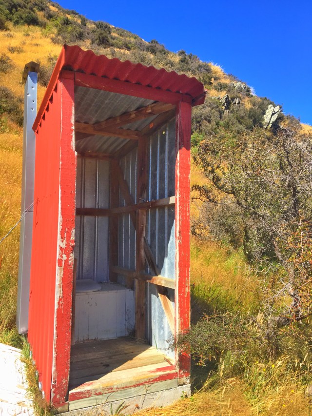
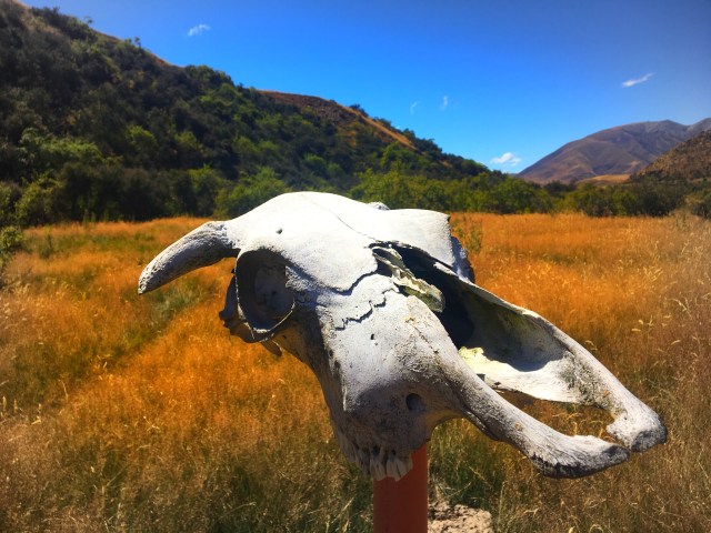
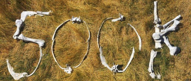
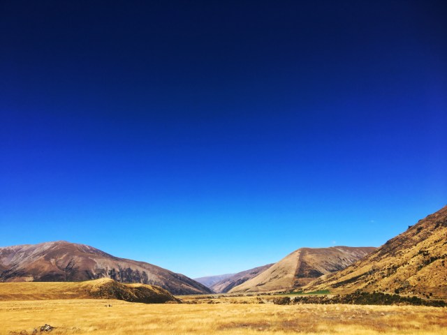
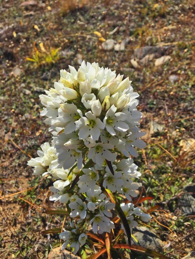
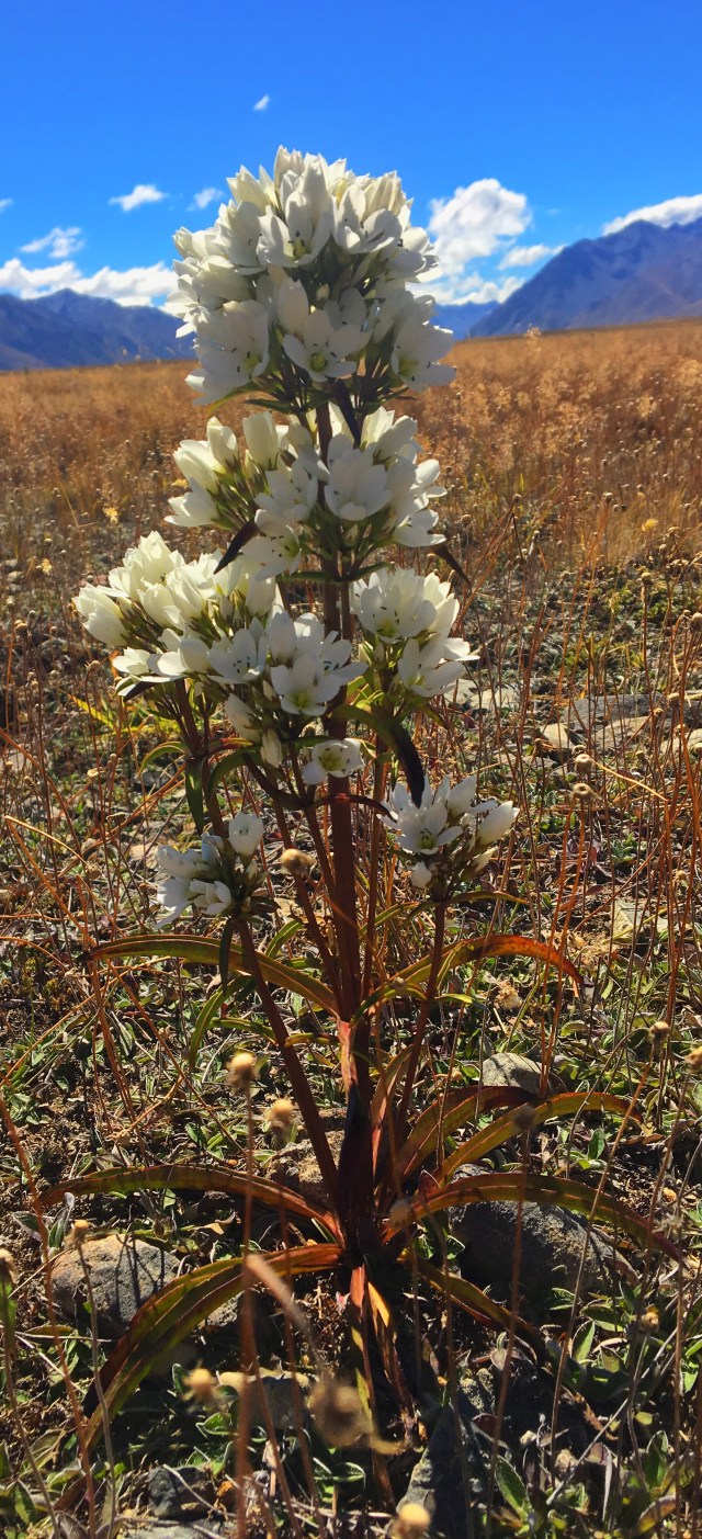
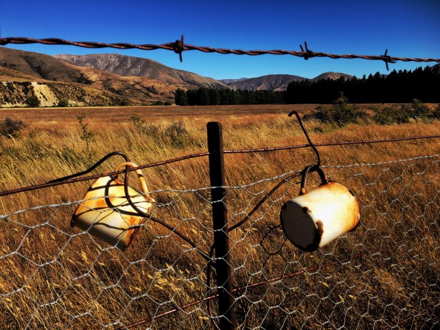
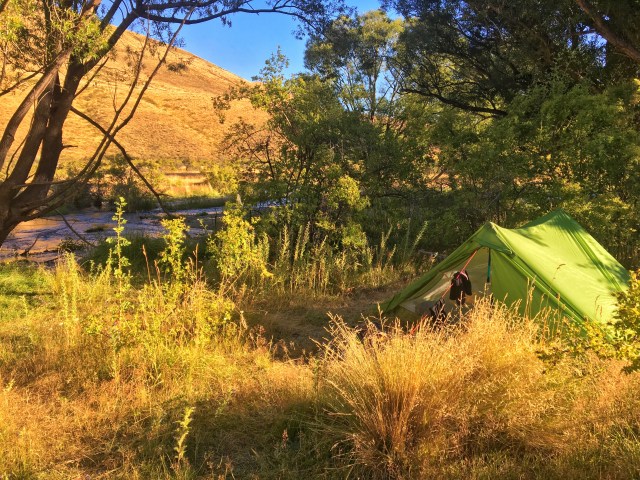
Day 38 Images: